
Densification Study | Arterial Corridors
Kelowna's Arterial Corridors: Where 6-Storey Mid-Rise Could Go
The densification study puts its tallest building type on the streets built to carry it. This page lists the 12 candidate corridors, drawn from the City's 2040 Transportation Master Plan major road network and the 2040 OCP Core Area, with each corridor's approximate segment and the reasoning for what is left off the list.
Key Takeaways
- ✓12 corridors qualify, anchored by Harvey Ave, Springfield Rd, Gordon Dr, Richter St, and Pandosy St / Lakeshore Rd.
- ✓752 of the 9,844 mapped residential Core Area lots front one of these corridors.
- ✓Downtown streets are excluded because Downtown already permits taller buildings under its own plan.
- ✓The corridor list follows the 2040 TMP designation, which disagrees with the live road inventory on some segments; the plan governs.
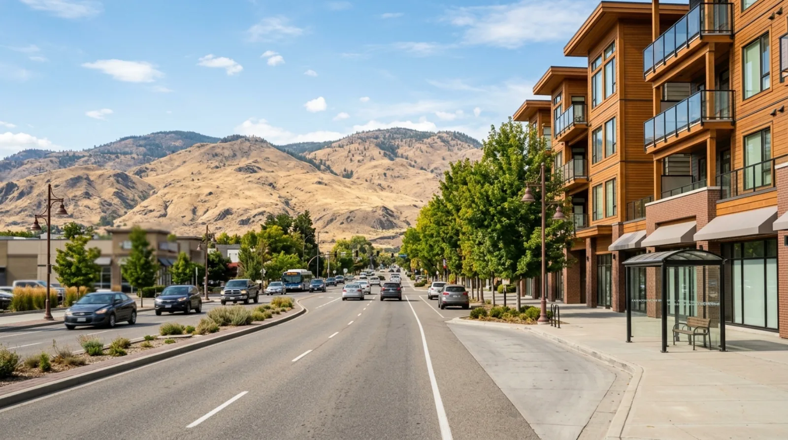
The 12 Candidate Corridors
| Road | Core Area segment (approx.) | Note |
|---|---|---|
| Harvey Ave (Highway 97) | Water St to Dilworth Dr | Deep commercial lots; strongest candidate for podium mid-rise. |
| Springfield Rd | Gordon Dr to Dilworth Dr | East-west arterial through the middle of the Core Area. |
| Gordon Dr | Bernard Ave to KLO Rd | North-south arterial; frequent-transit corridor. |
| Richter St | Clement Ave to KLO Rd | One block east of the hospital corridor. |
| Pandosy St / Lakeshore Rd | Harvey Ave to KLO Rd | Runs through the Pandosy urban centre and the Health District. |
| KLO Rd | Pandosy St to Benvoulin Rd | Southern edge of the Core Area. |
| Benvoulin Rd | KLO Rd to Springfield Rd / Harvey Ave | Eastern connector. |
| Clement Ave | Ellis St to Spall Rd (planned extension) | North-end corridor; extension classification to be confirmed. |
| Spall Rd | Harvey Ave to Springfield Rd | Short link between Capri-Landmark and Midtown. |
| Dilworth Dr | Harvey Ave to Springfield Rd | Eastern edge of the Core Area at Midtown. |
| Burtch Rd | Harvey Ave to KLO Rd | Functions as a minor arterial; classification to verify. |
| Glenmore Dr | Bernard Ave to High Rd | North Glenmore edge of the Core Area. |
Classification follows the City of Kelowna 2040 Transportation Master Plan (Map 7.3) as compiled in the VanPlex densification model, Rev 1.6, August 2026.
What Is Deliberately Left Off
| Street | Why excluded |
|---|---|
| Ellis St and Water St | Downtown streets. The Downtown urban centre already permits taller buildings under its own plan, so a 6-storey corridor policy adds nothing there. |
| Bernard Ave | Main-street character, classified as a collector. A different streetscape conversation than an arterial. |
| Ethel St | The city’s bike corridor, classified collector and active-transport. |
| Sutherland Ave and Casorso Rd | Collectors. Included only if the City chose to extend the policy beyond arterials. |
| Rutland Rd / Highway 33 | Arterial, but the Rutland urban centre sits outside the Core Area boundary this study covers. |
What Fronting an Arterial Changes in the Model
An arterial-fronting lot is tested as the 6-storey single-stair podium building instead of the 4-storey walk-up: parking under the building fed from the rear lane, an entry lobby, five floors of homes above, and an option for ground-floor commercial. The building form and its code basis are covered on the single-stair page.
Fees change too: arterial frontage works sit outside the City's flat-rate frontage program (Bylaw 7900 Schedule 7 sets $2,950/m for local roads and $3,150/m for collectors at 2024 rates), so the developer builds the arterial frontage to city spec, which the model carries as an estimate. The full fee stack is on the Development Cost Charges page.
Best For
- ✓ Lots on Harvey, Springfield, Gordon, Richter, or Pandosy with a rear lane for podium access
- ✓ Sites near frequent transit where a zero-parking policy scenario is most defensible
- ✓ Assembled or 60 ft+ frontages, which fit two stair cores and double the home count
Usually Fails When
- ✕ The lot is addressed to a side street and the corridor policy would not apply to it
- ✕ A shallow lot cannot fit the podium parking plus a workable floor plate
- ✕ The corridor segment falls outside the Core Area boundary, like Rutland Rd
What To Verify Before Spending Money
- → The lot’s corridor status on the interactive densification map
- → The current TMP road designation for the exact segment (Map 7.3)
- → Rear lane access, which sets both the rear setback and the podium entry
Frequently Asked Questions
What counts as an arterial road in Kelowna?
Kelowna classifies its major roads in the 2040 Transportation Master Plan, Map 7.3. Arterials are the highest-capacity city streets, like Harvey Ave, Springfield Rd, and Gordon Dr. The VanPlex densification study uses the TMP designations for its corridor list because the live road inventory classes some segments differently than the plan does.
Which Kelowna corridors are candidates for 6-storey buildings?
The study names 12 candidate corridors inside the Core Area: Harvey Ave, Springfield Rd, Gordon Dr, Richter St, Pandosy St / Lakeshore Rd, KLO Rd, Benvoulin Rd, Clement Ave, Spall Rd, Dilworth Dr, Burtch Rd, and Glenmore Dr. Each is listed with its approximate Core Area segment on this page and drawn on the interactive densification map.
How many Kelowna lots front an arterial corridor?
Of the 9,844 residential Core Area lots in the VanPlex densification model, 752 front one of the 12 named arterial corridors. Those lots are tested as the 6-storey single-stair building type; the rest of the Core Area is tested as the 4-storey type.
Why are Downtown streets left off the corridor list?
Because Downtown Kelowna already permits taller buildings under its own urban centre plan, per the 2040 Official Community Plan. Ellis St and Water St are excluded from the 6-storey corridor test since the policy being tested would add nothing where more height is already allowed.
Why put 6-storey buildings on arterials instead of quiet streets?
Arterials carry the frequent transit routes, the commercial services, and the traffic that mid-rise buildings generate, and their lots often run deeper than interior-block lots. Putting the tallest form on the busiest streets is the same logic Kelowna’s 2040 OCP applies to its transit-supportive corridors.
Is Richter St an arterial? The City road inventory says Collector in places.
Both statements are true, which is why the source matters. The 2040 Transportation Master Plan designates Richter St from Clement Ave to KLO Rd within the major road network, while the City’s live road inventory classes some Richter segments as Collector. The study follows the plan’s designation for policy purposes and records the inventory class per lot for fee math.
Do arterial lots pay different city fees?
Frontage works differ by road class. The City’s Bylaw 7900 Schedule 7 program sets per-metre rates for local roads ($2,950/m at 2024 rates) and collectors ($3,150/m at 2024 rates), while arterial frontage sits outside the flat-rate program and the developer builds to city spec, which the model carries as an estimate. Development Cost Charges do not change by road class.
What happens to a corner lot on an arterial?
The model flags a lot as arterial-fronting when the lot’s own recorded street address is on one of the 12 corridors. A corner lot addressed to a side street is tested as the 4-storey type by default, and its panel on the interactive map lets you switch it to the 6-storey test in one click.
Which corridor is the strongest 6-storey candidate?
Harvey Ave (Highway 97) between Water St and Dilworth Dr, per the study’s corridor tab. It is the city’s spine, and its deep commercial lots suit podium mid-rise better than any residential corridor. The current published map covers the residential Core Area only, so Harvey’s commercial lots sit outside the mapped set.
Can I see the arterial lots on a map?
Yes. The free interactive map at vanplex.ca/kelowna-densification-map runs the 6-storey scenario on all 752 arterial-fronting residential lots. Each lot’s panel names its corridor status and lets you test the 6-storey and 4-storey forms side by side.
Related Reading
Official Sources
Screen Your Kelowna Lot for Multiplex
Enter any Kelowna address to check SSMUH unit count, zoning, frequent-transit bonus eligibility, and whether the Infill Fast-Track path applies.